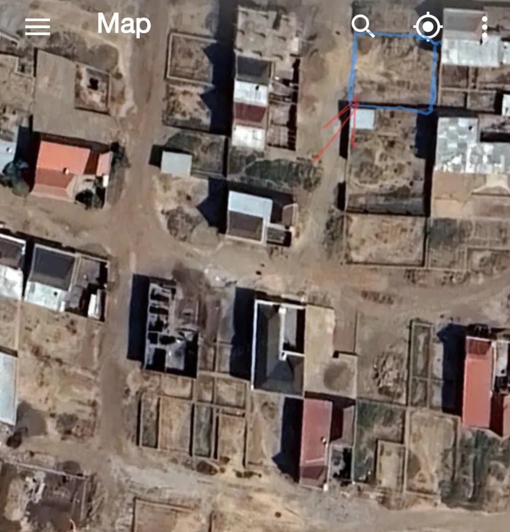
This satellite image presents a detailed view of a residential area with a clear network of roads and distinct property boundaries. Various rooftops and open plots are visible, highlighting a mix of developed and undeveloped spaces. The highlighted section with red arrows draws attention to a specific plot, making it easy to identify on the map. This precise aerial perspective is a useful addition for planning and navigation purposes.
Artista
I create bold visuals that blend abstract shapes, aerial landscapes, and textured surfaces to explore the balance between nature, human impact, and cosmic mystery. My work invites reflection and sparks curiosity about the world around us.