
© 2026 Art Storefronts
v4.5.17© 2026 Art Storefronts
v4.5.17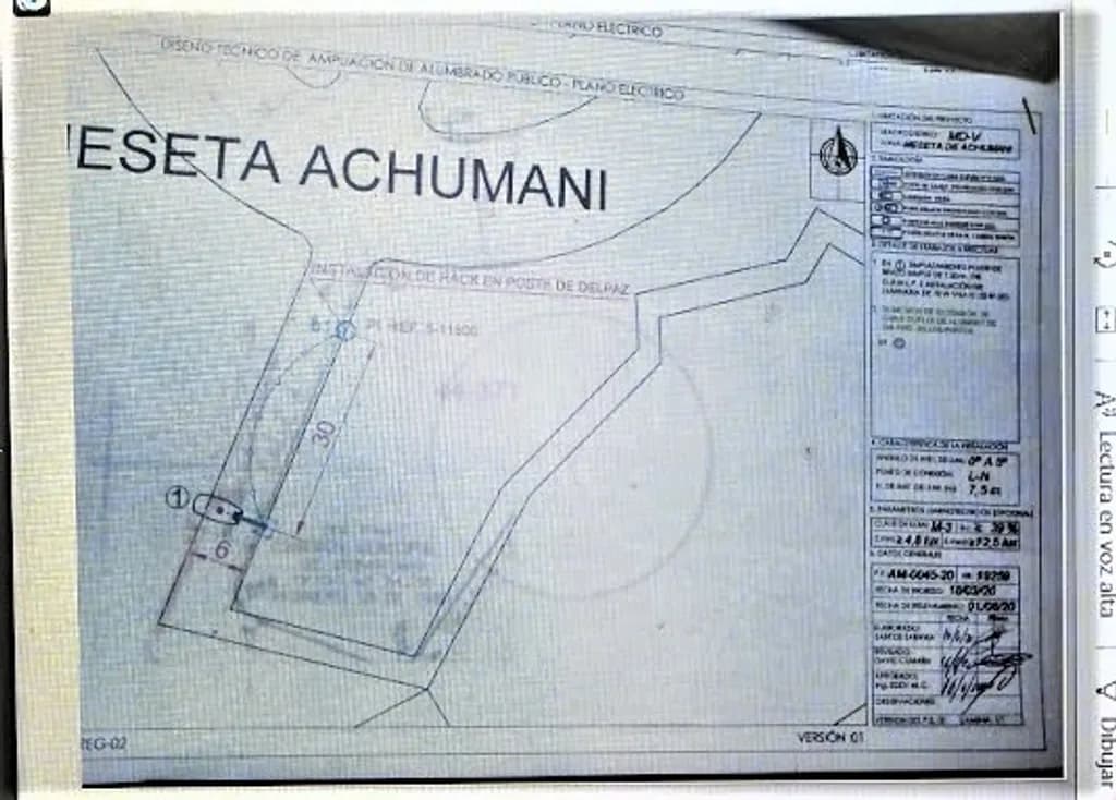
This technical drawing presents a detailed schematic for the public lighting expansion at the "ESETA Achumani" site, offering a precise plan for electrical layout and infrastructure. The map delineates the boundaries and key measurements of the area, marked with specific angular lines and distances, such as the indicated 30 and 6 units along the left section, which likely correspond to structural or installation parameters. The inclusion of a directional arrow on the right-hand side helps orient the viewer to cardinal directions, essential for on-site implementation. Annotations and labels faithfully represent the technical specifications for electric posts, cable routing, and other essential components of lighting systems. An inset box on the right provides detailed notes, codes, and approval stamps, imparting a sense of the document's authenticity and adherence to regulatory standards. This section also outlines technical directives, such as cable gauge, voltage, and equipment specifications, enhancing the clarity needed by professionals executing the design. The drawing’s precision allows engineers and electricians to visualize spatial relationships and prepare for the physical installation of lighting infrastructure. By conveying these elements in a clear and organized manner, the plan reduces the potential for miscommunication and errors during construction. This blueprint not only serves as a guide but also embodies the technical rigor necessary for reliable public lighting systems. Ideal for professionals seeking a reference project or educators illustrating practical applications in electrical design, this document offers an insightful glimpse into infrastructure planning. It reveals the meticulous preparation behind expanding urban utilities, reflecting both technical expertise and on-the-ground practicality. Adding this piece to your collection can provide valuable context and inspiration for those engaged in architecture, engineering, or urban development fields.